
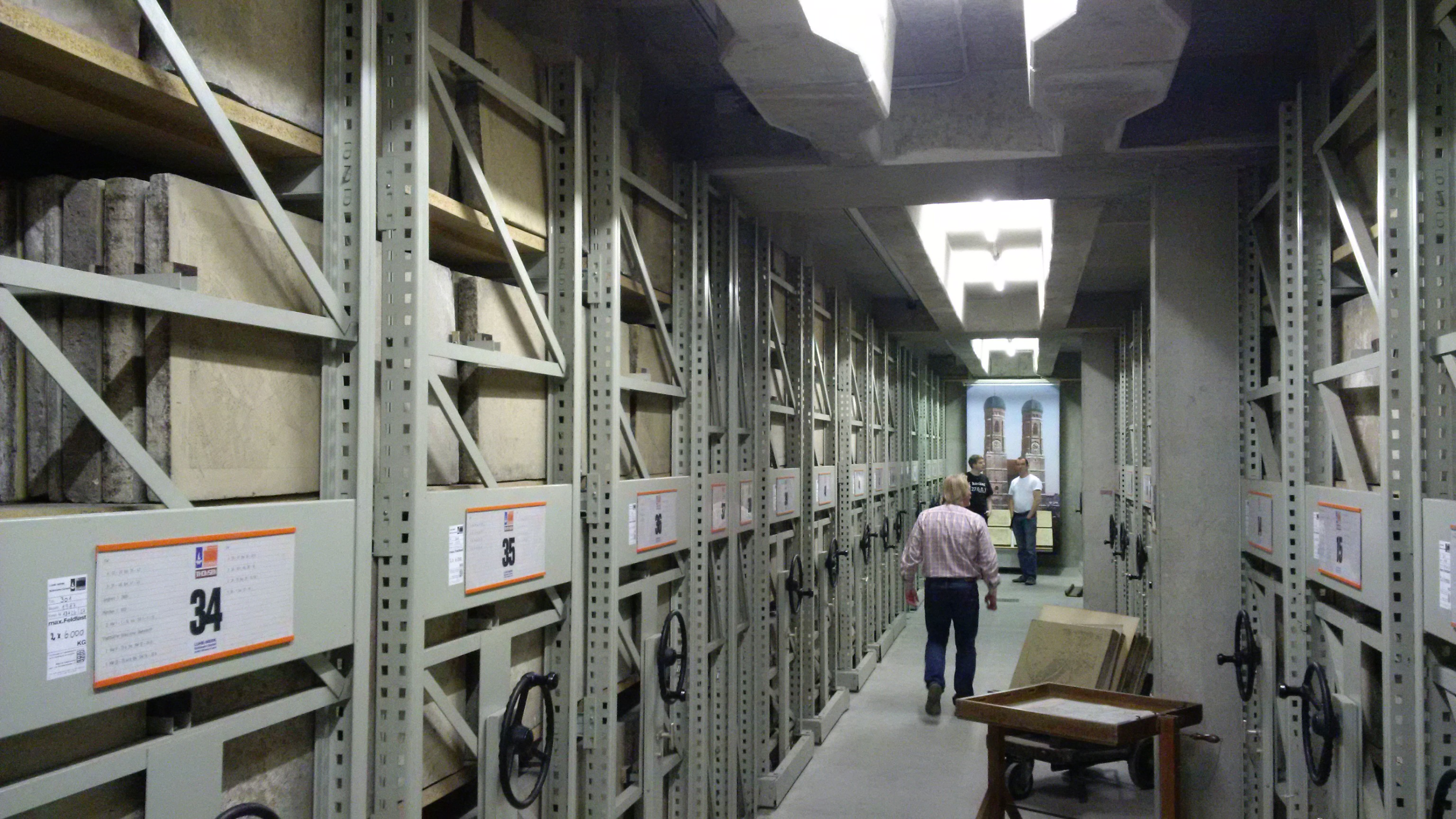
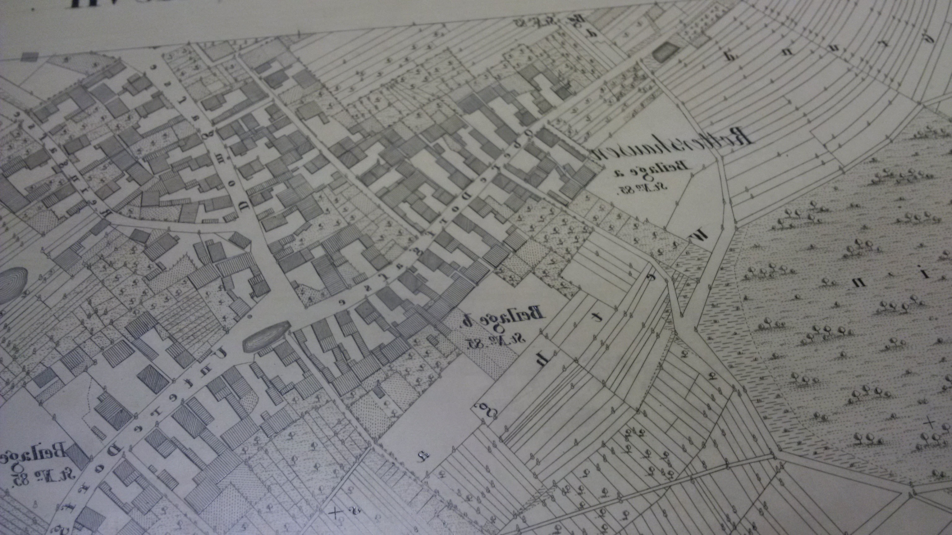
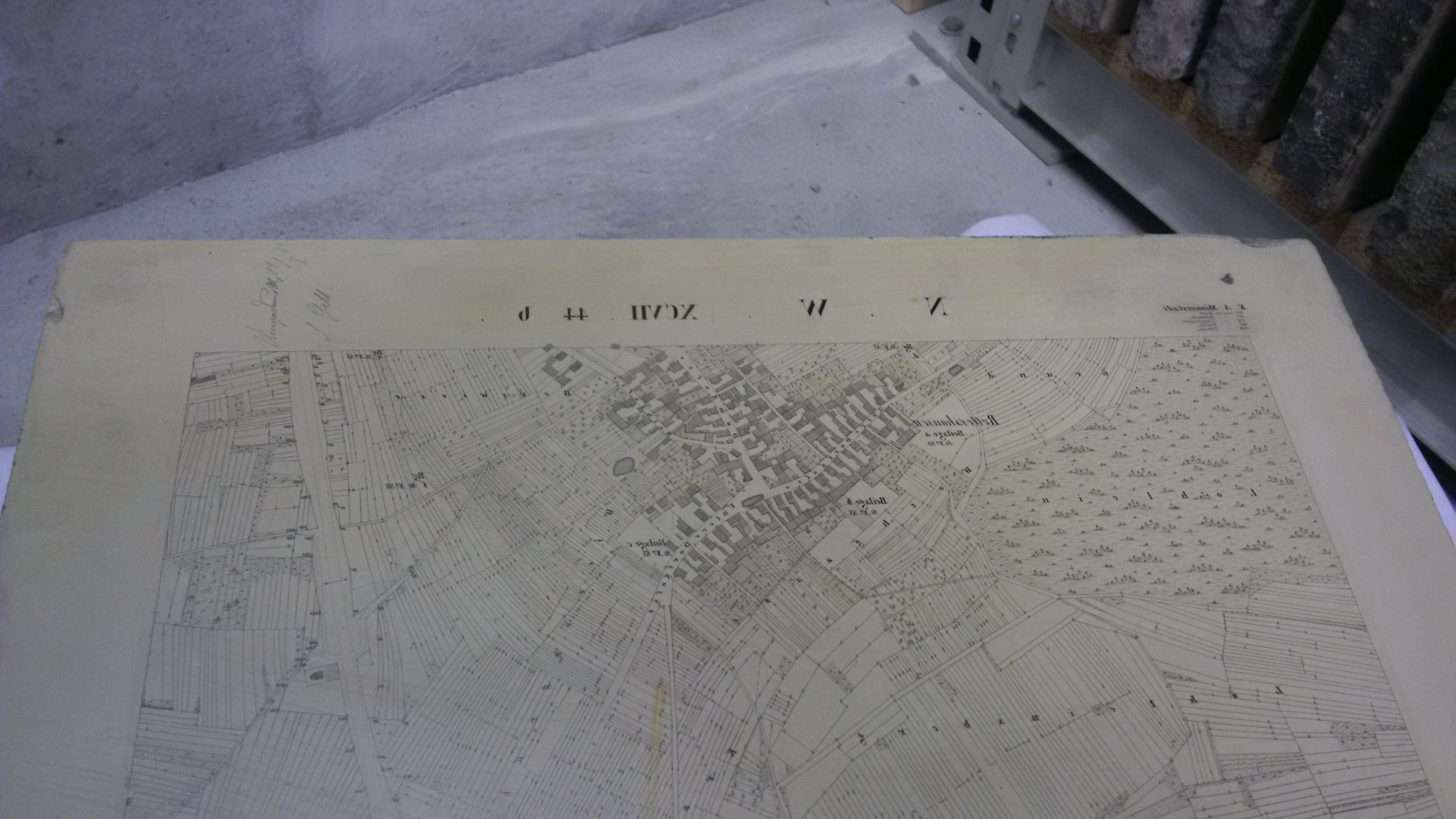
Last week, I had the chance to visit Bavaria’s (and so also Germany’s) oldest Spatial Database. It’s buried deep below Munich, and contains all the geo information about Bavaria in scale 1:5000 and some in 1:2500. It was introduced in 1808 and was in use until 1950. That’s also the current state of the data.
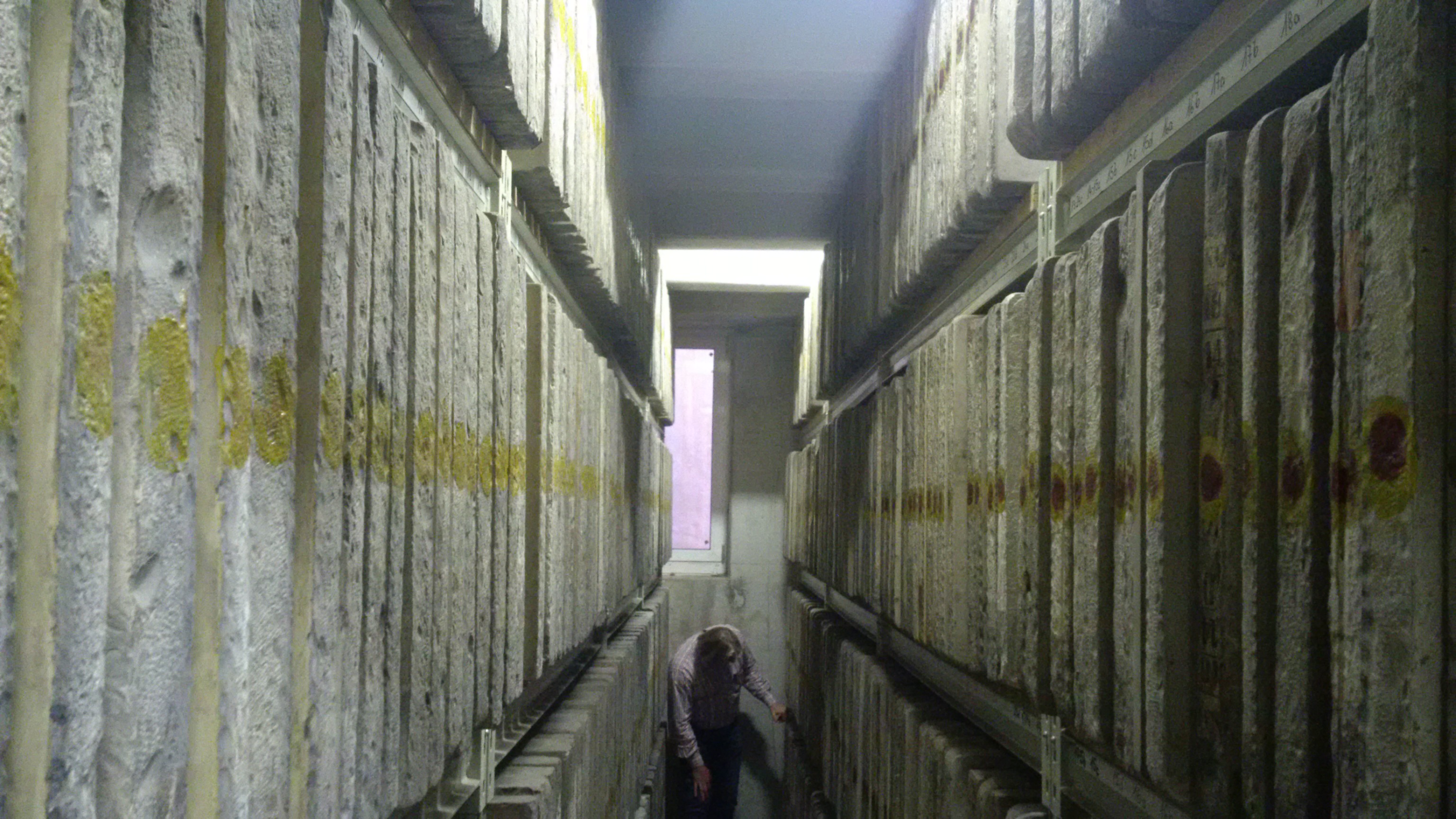
Each of the 26,000 official maps is painted in oil and mirror-invertedly on polished lime sand brick. Each “page” is 1m x 1m (3.2ft x 3.2ft) in size, 4-6cm (2-3in) thick and the weight of each stone “disk” is approximately 70kg (154lbs). That makes it 26 Kilostones in size, with a dump size of 1,820,000 kg or 3,968,000 lbs.
They were the master “files” for a lithography process, which was the standard for master map reprinting over one and a half century.
I hope you are more grateful in future, when you do your next database export and complain that you have to bring it over to the other DBA team on a jump drive. It could have been a column of trucks …
Haul on
Martin Klier